Services

Site Design and Development

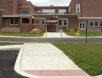
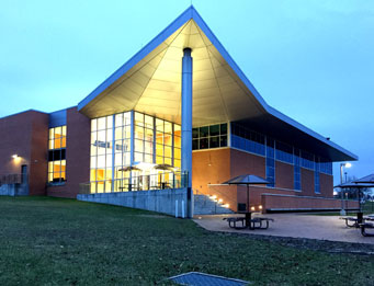
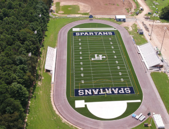
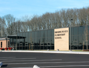
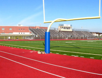
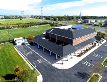
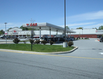
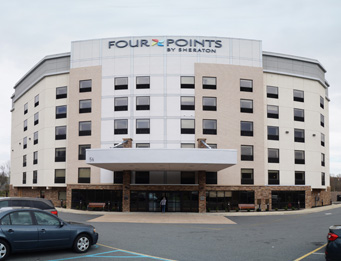
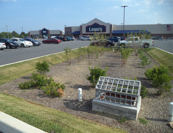
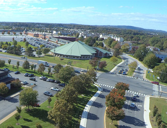
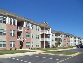
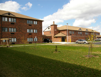
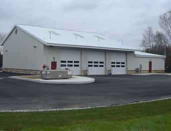
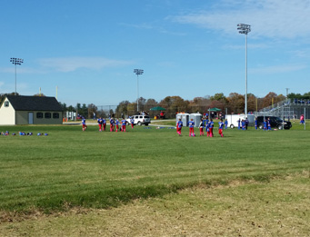
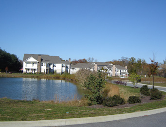
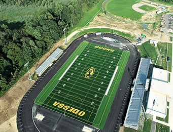
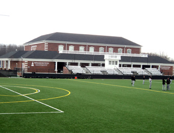
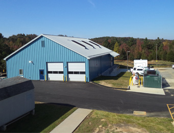
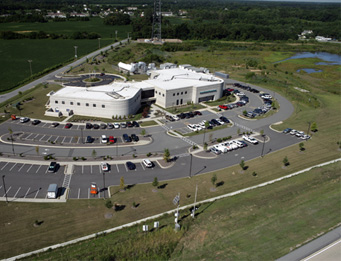
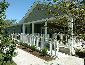
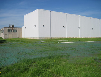
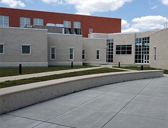
Site design and development services provided by your professional consulting civil engineer are a key factor in the success of your land development project.

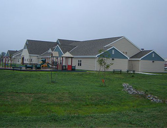
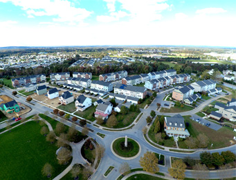
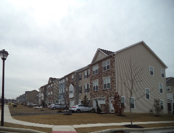
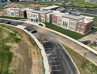
Landmark Science & Engineering is known for its extensive civil engineering and site design experience in the mid-North Atlantic region where it has provided consulting services to public and private clients since 1987. The firm has a solid record of assisting clients in preparing responsive and effective studies, planning and site design, and permit applications for their important land development projects. Landmark’s staff maintains strong working relationships with key agency members in the various local, state and federal agencies in Delaware, Maryland and Pennsylvania.

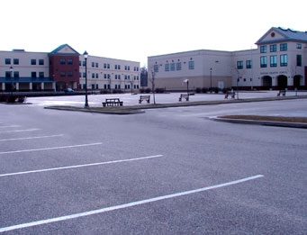
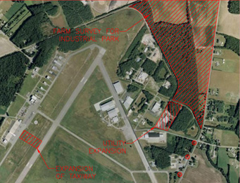
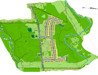
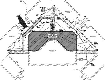
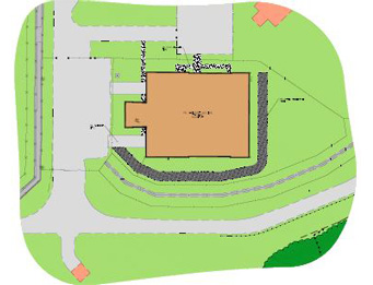
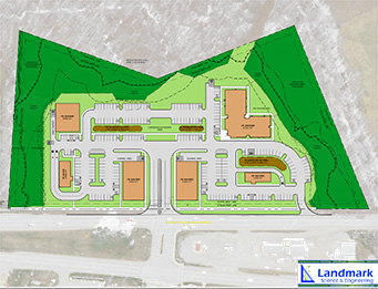
Our staff is familiar with the local zoning codes and land development processes and will prepare the required exploratory sketch plans, preliminary plans and record plans, as required by specific jurisdictions, and efficiently process clients’ site plan approvals. We understand the value of agency coordination and in proactive public involvement early in the conceptual planning phase.

Multidisciplinary Staff

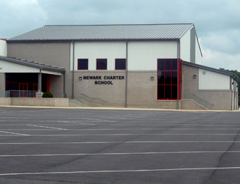
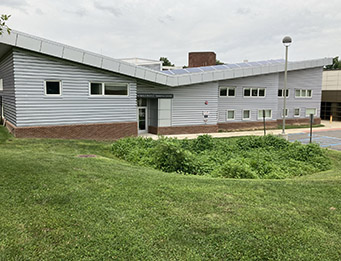
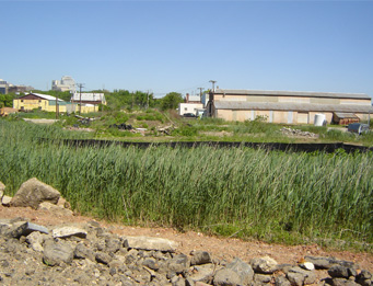
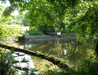
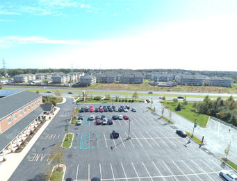
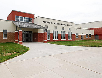
Landmark’s multidisciplinary staff can assist you with every phase of the development process, from the earliest stages of due diligence and Phase I ESAs, surveying and environmental services, planning and site design, approvals and permitting, through construction-phase support services. The principals have an excellent performance record in satisfying clients’ needs for innovation, design quality, timelines, and performing within desired construction budgets.

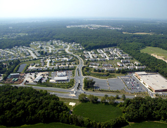
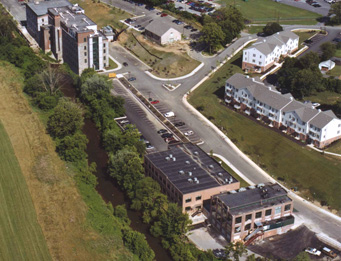
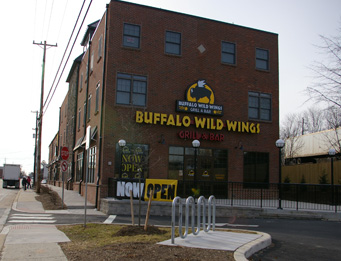
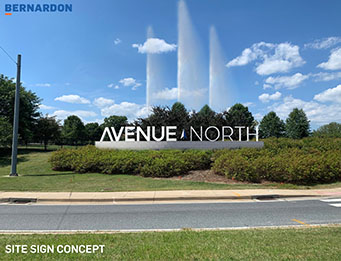
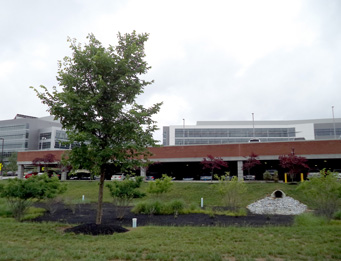
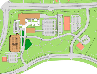
View our experience with the state’s largest mixed-use redevelopment: Avenue North Mixed-Use Redevelopment

DOWNLOAD BROCHURE

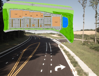
Description of Planning and Site Design Services Provided

Click below to see more about our specific services.

Civil Engineering and Site Design

Civil Engineering and site design provided by the Site Engineer is an important part of the land acquisition and land development process. Our civil engineers provide services and information that allow developers and property owners to make sound financial decisions on the potential value of a property or a project…whether that property was previously developed or is undeveloped.

Site Design

From schematic design phase through design development, the Site Engineer will prepare the Record Plans/Plats (Major and Minor) and assist the client at public hearings, council meetings, rezonings, and team meetings, as well as obtaining site plan approval at local, state and federal agencies, as required.

The Site Engineer has overall responsibility for:

  • Topographic and perimeter surveys
  • Determination of easements, code requirements, and other legal restrictions
  • Delineation of wetlands, floodplains, forest, and other environmental considerations
  • Subsurface investigations (coordination of geotechnical services)
  • Highway noise analysis studies / Intermodal transportation studies
  • Steep slopes analysis and design
  • Floodplain review and determination
  • Groundwater recharge analysis and system design
  • Stormwater management and storm drainage system criteria
  • Land planning assistance / Record Plan preparation
  • Assistance at public hearings, council meetings, rezonings, and team meetings
  • Traffic Impact Studies (TIS)
  • Traffic Operational Analysis (TOA)
  • Interface with technical review and regulatory agencies
  • Permit preparation, submission and follow up
  • Preliminary and final design for site related items.
  • Coordination of Landscaping Plans and specialty subconsultants
  • Preparation of construction documents, cost estimates, bidding assistance
  • Construction administration services
  • Construction-phase support services (layout, as-builts, CCR)

Stormwater Management / Sustainability / LEED Design

Sustainability, green stormwater technology and LEED practices are vital for the challenges we face today for responsible land development, and Landmark is a leader is in this effort. We offer cutting-edge, technical expertise and value for all clients and stakeholders.

What does that mean for land development today?

Landmark has proudly taken it upon itself to embody these values to improve site conditions and provide sustainable, low-impact design with each and every project we design, and we work closely with design team members to coordinate sustainable design elements for low impact development.

Stormwater Management BMP and ESD

Best management practices (BMP) and environmental site design (ESD) are green technology stormwater practices utilized in the design of effective, sustainable stormwater management systems. These low-impact design elements can be found across all sectors of the services we provide and include:

  • Bio-retention and Microbioretenton basins (bio-soils used for effective filtration)
  • Subsurface stormwater facilities*
  • Water conservation and “grey water” reuse
  • Underground cisterns
  • Green roof systems
  • Native habitat design
  • Wetland mitigation design
  • Brownfield redevelopment

* New Castle County requires semi-annual inspections of subsurface stormwater facilities on commercial properties. Our certified staff can provide these inspection services and can help to address violations if they occur.

Grading, Drainage, Erosion & Sediment Control

Landmark designers are highly skilled in preparing grading, drainage, erosion and sediment control (E&S) plans and stormwater management plans, and many are certified by the State of Delaware Sediment and Stormwater Management as Certified Construction Reviewers (CCR). We understand the importance of E&S plans and are experienced in monitoring the operation of these facilities during construction to avoid potential shutdowns due to non-compliance for the project.

Parking Lot, Entrance, Roadway Design

Landmark staff is experienced with the design of new parking lots, entrances, and the related street and highway improvements, including roadway widening for deceleration and acceleration lanes, bypass lanes, and left turn lanes, as well as major signalized intersections. Existing parking lots can benefit from overlays to improve surfaces, address ADA compliance for pedestrian accessibility, increase parking spaces, and improve traffic flow and pedestrian safety.

Sanitary Sewer Design

Landmark is experienced in the design of sanitary sewer systems and has designed hundreds of miles of gravity sewers, force mains with pumping/lift stations, and large-scale septic system design and conversions for public- and private-sector clients.

Water Distribution Design

Landmark is experienced with the design of water distribution systems and has designed hundreds of miles of water distribution mains for public and private clients.

Municipal Engineering

Landmark provides technical assistance to municipal clients, including:

  • Review of development plans for compliance with code requirements and technical adequacy.
  • Evaluation of existing municipal utilities such as sanitary and storm sewers, water supply, drainage, traffic, road and street repairs, etc.
  • Long-range municipal utility planning assistance.
  • Technical review and/or preparation of proposed ordinances and code revisions.
  • Right-of-way and easement acquisition.
  • Assistance at public hearings, township meetings, rezonings, etc.
  • Construction cost estimating relating to funding, letters of credit, or bonding requirements.
  • Environmental consulting services: assistance with federal grant applications and meeting guideline requirements, environmental site assessments, and processing permits.
  • Design services: surveying, land planning and civil engineering design.
  • Bid phase services.
  • Construction phase services.

Permits and Agency Processing

From planning and design through approvals and permitting, Landmark has proven successful in shepherding projects through the local, state and federal regulatory agencies’ processes. Our proficiency and solid record in assisting clients with a variety of environmental investigations, studies, design, and acquiring environmental permits is based not only on our extensive knowledge of codes and regulatory requirements, the site plan/record plan approval process, and the certificate of occupancy process, but also on our strong relationships with agency personnel.

Our Sciences staff have extensive experience and can assist in acquiring permits as they relate to Federal Nationwide Permits (section 10 and 404, plus Section 408 approvals), Joint State and Federal permits in Delaware, Maryland, and Pennsylvania, and State-only permits including` Subaqueous Lands, Air Quality, and Coastal Zone. Our staff can assist in providing support data for local or regional approvals including acquiring County variances, Chesapeake Bay Critical Area Commission (CBCAC) approvals, and Forest Stand Delineation/Forest Conservation Plan (FSD/FCP) approvals.

The Sciences staff is able to assist in acquiring permits as they relate to:

Federal Nationwide Permits (section 10 and 404, plus Section 408 approvals)

Federal permits are typically issued from the U.S. Army Corps of Engineers (USACE) for use in a variety of projects including road construction, land development, stream restoration, utility installation, drainage improvements and stormwater management, Brownfields sites, and violation resolutions. These permits typically require wetland delineations, jurisdictional determinations, and compensation for impacts.

Joint State and Federal Permits for wetland-related impacts in Delaware, Maryland, and Pennsylvania

Maryland Department of the Environment (MDE), Pennsylvania Department of the Environment (DEP), and to a limited extent, Delaware Department of Natural Resources & Environmental Control (DNREC) issue joint permits in conjunction with the USACE for projects that necessitate minor impacts to Waters of the U.S. including wetland and buffers. These permits typically require wetland delineations, jurisdictional determinations, and compensation for impacts.

State-only permits including DNREC Subaqueous Lands, Air Quality, and Coastal Zone

DNREC issues their own Subaqueous Lands permits where projects impact watercourses (streams, channels, creeks, etc.) or tidal wetlands. DNREC does not issue permits for non-tidal wetland impacts. DNREC also issues specific permits as they relate to construction and operation of commercial and industrial facilities in the Coastal Zone, and for air emissions.

Local and regional approvals

New Castle County regulates wetland and riparian buffers as well as certain isolated wetlands which may require a variance and compensation if permanently impacted. New Castle County also requires a Forest Stand Delineation which has restrictions on the amount of forest areas that can be cleared without compensation.

The state of Maryland requires a Forest Stand Delineation and a Forest Conservation Plan for most land development projects which are regulated and approved at their respective county level. The Chesapeake Bay Critical Area Commission regulates activities within the critical buffer area for the Chesapeake Bay and its tributaries.

NPDES Permit Compliance

Our engineers and field staff can assist companies and municipalities with permit compliance under the National Pollutant Discharge Elimination System (NPDES).

Water Resources

Landmark’s full service, integrated approach brings all of your water resources, civil engineering, remediation, and environmental needs together in one place. Our staff provides innovative and creative solutions. Through the use of statistical assessments and experimental designs, efficient and cost effective solutions can be developed to address today’s challenging sites.

Our areas of water resource expertise includes:

Stormwater / ELG, TMDL, BMP, ESD

Landmark’s Water Resources staff conduct analysis and design to meet Effluent Limitations Guidelines and Standards (ELG), Total Maximum Daily Load (TMDL), Best Management Practices (BMP), Environmental Site Design (ESD), Drainage Studies, and Forensic Analysis to meet stormwater and clean water regulations.

Brownfields Contamination

Landmark’s Sciences staff conducts sampling of soils and water for analysis for contamination in surface water, groundwater and well monitoring to aid in brownfield investigations, mitigation design, and redevelopment opportunities

Wetland Enhancement and Mitigation Design

Landmark’s Water Resources and Sciences staff are experienced in designing and monitoring wetland restoration, enhancement, and creation for both on-site and off-site projects. Analyses of sites include soil, seasonal high groundwater depth, infiltration, and the intended hydrologic conditions for appropriate native plant selection.

Landmark’s Sciences staff is also experienced in conducting the post-construction monitoring and reporting required for compensatory mitigation. Landmark routinely directs mitigation projects successfully through all stages of the process from design, construction oversight, and plant installation to the annual monitoring and reporting.

Hydraulic and Hydrologic Analyses

Landmark’s Water Resources staff conducts hydraulic and hydrologic modeling in the design of stormwater facilities and storm water drainage conveyance required for residential, commercial, industrial and institutional projects.

Water Balance

Landmark provides water balance analyses for sites in recharge Water Resource Protection Areas (WRPAs).

Stream Scour Analysis and Scour Protection

Landmark Water Resources staff can conduct scour analyses to evaluate the effects of stream erosion on bridge foundations and can design appropriate scour protection measures. View project experience: Eagle Run Road

Stream Enhancement and Restoration

The diversity of experience within our Water Resources and Sciences departments allows Landmark to perform stream enhancement and restoration projects including a variety of investigations often associated with stream projects including environmental impact assessments, wetland and forest stand delineations, design and permitting, tax-ditch coordination, and groundwater studies on an in-house basis. View project experience: Channel Restoration at Avenue North

Floodplain Analysis

Landmark Water Resources staff will perform floodplain analysis, design and/or remapping of FEMA floodlines. Work may involve mapping, modeling, and modification to FEMA flood maps. (LOMR, CLOMR)

Living Shoreline Analysis and Design

Landmark’s Water Resources department has the ability to integrate traditional civil engineering, coastal engineering and ecological sciences to design ecologically compatible hybrid shoreline stabilization measures to achieve coastal protection in areas where historic dikes, community infrastructure and marsh habitat are at risk.

Transportation

From major intersections to U.S. and state highway improvements and from new state connector roads to local streetscapes, Landmark provides highway and roadway engineering services to take projects from feasibility study through final design. Our transportation and traffic engineers, along with our designers, surveyors, environmental scientists and landscape architect manage every aspect of planning and design from traffic impact studies, road alignment design, utility relocation plans, approvals, and addressing stakeholder concerns to minimizing impacts to environmental and cultural resources.

Our in-house Sciences staff has performed habitat and wildlife studies and wetland related services, such as delineation, mitigation, construction oversight and long-term hydrologic monitoring, and bog turtle investigations for numerous road and bridge projects for our projects as well as directly for subconsultants since 1990.

Streets and Highway Design

Landmark has performed planning and design for millions of dollars’ worth of roadway and intersection improvements, pedestrian improvements and creation of bikeways and greenways along miles of state roads and U.S. highways since 1987. We have worked as a consultant and subconsultant directly for the Delaware Department of Transportation and we, concurrently, have been designing similar components for our many commercial, residential, institutional, and recreational projects.

Drainage Studies and Recommendations

Landmark’s Water Resource department includes experts in hydraulic and hydrologic analysis, environmental assessments and engineering design. Use of statistical assessments and experimental designs has led to the development of efficient and cost effective solutions to perceived environmental conditions on today’s challenging sites. Innovative and creative solutions have been prepared for projects involving streambank stabilization, roadways, bridges and culverts, and residential and commercial areas in urban, suburban and rural settings.

Projects have involved floodplain modifications, wetland and tidal stream crossings, streambank scour analysis and stabilization design, mitigation design for tidal and non-tidal wetlands. Permit processing has been conducted through county, state and federal agencies and Amtrak railroad for RTE permits.

Stream stability assessment (scour analysis) and design of scour countermeasures have been provided as a subconsultant service by our engineers and scientists for bridge engineers. In addition, Landmark has conducted numerous large-scale roadside drainage and improvement studies for the Delaware Department of Transportation, which included surveys and conceptual design for the drainage improvements, as well as the design of collector roads.

Studies, assessments and recommendations have been prepared for DelDOT and other municipalities in connection with transportation and other flooding issues in Delaware, Maryland and Pennsylvania.

Traffic Impact Studies

Landmark’s traffic engineering staff is experienced with performing traffic impact studies (TIS), traffic operational analysis (TOA), traffic signal analysis (TSA), and technical TIS peer reviews. Ted Williams, PE, a principal of the firm and transportation engineer, has prepared over 50 traffic studies in all counties of Delaware and Cecil County, Maryland. Traffic studies have been prepared for proposed new developments and redevelopments for residential (single and multiple, multi-family and age-restricted dwelling units), office, retail, shopping centers, and industrial projects of all sizes, ranging from small to over a million square feet of warehouse and industrial or mixed-use projects.

Bicycle and Pedestrian Planning & Design

Landmark has provided planning and conceptual design support and cost estimating for the preparation of statewide bicycle and pedestrian planning studies, concept plans, and hand-off packages for numerous projects throughout Delaware under multiple on-call contracts with Delaware Department of Transportation as a subconsultant. For local municipal governments, we have designed conceptual town-wide sidewalk improvement and construction plans.

Our staff is experienced in the design of ADA-compliant pedestrian improvements and bicycle paths and greenway trails in association with design of new connector roads and major road widening projects, adding deceleration/acceleration and turn lanes, entrances, bicycle lanes, sidewalks, intersections and ADA-approved intersection crossings and pedestrian sanctuaries.

ADA Site Compliance

Landmark has a highly qualified and experienced staff available to assign to pavement, sidewalks, curbs, entrances, handicap ramps, and parking lot rehabilitation projects. Our staff periodically attends continuing education classes to stay abreast of ADA compliance for route accessibility and site design criteria.

Survey and construction review staff are experienced in performing extensive grade checks at the sidewalks and walkway grades from the parking lot and bus drop-off areas to building entrances. Areas that do not meet ADA criteria are identified and corrective measures designed. Where it is possible, we will design slopes that are within the slope threshold to eliminate handrails. Signage and pavement striping plan will also typically be prepared as part of the pavement rehabilitation and drainage improvements.

Contractor Services: Environmental, Streambed Scour Analysis, Survey Services

  • Survey services
  • Streambed stabilization, scour analysis and scour protection design
  • Wetland mitigation design, construction oversight, and monitoring
  • Forest stand delineation and forest conservation plans
  • Habitat assessment/RTE species studies
  • Bog Turtle Investigation (Phases I-III and construction monitoring)
  • Permitting

Landscape Design

Landscape architects analyze, plan, and design the built and natural environments that are integral to our residential, commercial, institutional and recreational projects. The landscape architect brings a significant impact to communities and quality of life through the creative, visual and functional design of parks, campuses, streetscapes, trails, plazas, and other projects that help define a community.

The Landmark team offers landscape design services to meet a wide variety of landscape design requirements for our clients’ projects. Our multidisciplinary design staff also includes a native plant ecologist, wetland mitigation specialist, and a qualified Forest Professional.

Landscape design services include concept plans, planting plans, stormwater management planting plans, streetscape plans, forest conservation plans (FCP), reforestation plans and others. Our team can provide review and interpretation of local zoning codes, review of projects for compliance with ADA accessibility standards, and site review of projects during construction for compliance with plans and specification.

Landmark has strong relationships with various architects, landscape architects, and planners. For large-scale master plans we can assemble a team with the appropriate disciplines, or work as part of a multidisciplinary design team to provide the site information needed for master planning.

Conceptual / Master Planning

Landmark staff has experience working with the owner and various stakeholders to provide conceptual and master planning design services for commercial, residential, institutional and recreational and sports projects. Because we offer an integrated mix of environmental, surveying, civil engineering and landscape design expertise, Landmark is often part of a multidisciplinary team selected to master plan large tracts with complex project needs. We can provide all of the integrated site information required by the architect or planner for the project on a timely basis.

Landscape Plans – Stormwater Management (SWM)

Our staff brings a unique blend of landscape design and engineering expertise combined with high-quality site design skills needed for site grading, stormwater management best management practices (BMPs) and environmental site design (ESD), road layout, and earthwork analysis for residential, commercial, industrial and recreational projects. Our native plant specialists will coordinate stormwater management planting plans with landscape design staff.

Streetscape Plans

Our team’s landscape architect and engineering design staff will work with the owner and stakeholders, participate in meetings and charrettes to obtain public input to provide the streetscape design and neighborhood beautification and functionality desired. Our staff will provide review and interpretation of local zoning codes, review of projects for compliance with ADA accessibility standards, and site review and coordination of projects during construction for compliance with plans and specification.

Utilities

We understand the complexities associated with long linear projects that may pass through multiple properties and land uses. We also understand that linear projects have special requirements: roadways, utilities, pipelines, sewers, water, and transmission lines all have varying critical needs and safety concerns.

We provide a core utilities team that is experienced in delineating and designing linear projects, with supporting specialists, as needed, including land surveyors, engineers, designers, environmental scientists, certified construction reviewers, and GIS specialists.

ROW Acquisition, Utility Design & Permitting

Our experts are ready to support your full range of easement/land and negotiation needs for rapid, cost-effective decision-making. Because we know the players throughout the mid-Atlantic region, our experience includes local knowledge essential to making cost-effective decisions.

We have the full team of environmental specialists from GIS to wetlands to forestry to NEPA to environmental fieldwork and permitting specialists to overcome obstacles. We will work to support your internal technical staff, from a key individual specialist, to our complete team of land surveyors, engineers, scientists, permitting specialists, and GIS specialists. We will provide the right mix of skills to suit your project requirements.

We provide the complete engineering disciplines necessary for all utility corridor, natural gas pipeline and pumping-station projects, including horizontal directional drilling design and jack & bore design for stream crossings and railroad crossings. If you project will cause disturbances in the 100-year floodplain, we will take your project through the appropriate regulatory agencies, including through the Chesapeake Bay Critical Area Commission if applicable. We are familiar with the application process for Amtrak’s right-to-enter (RTE) permit and AREMA design standards.

Construction Methods: We understand that consideration to ground conditions, road closures, earth disturbance and other variables need to be accounted for on projects when underground piping is specified. We are familiar with utilizing methods such as Jack & Bore and Horizontal Directional Drilling which are common trenchless applications that provide minimal impact to the surrounding environment.

Construction Support: Surveying, construction layout, certified construction review, environmental permit compliance requirements, and bog turtle construction monitoring are provided in-house.

Safety: All field staff have OSHA 40-hour HAZWOPER training certification. Crew members have TWIK, Amtrak and other contractor orientation and safety certifications as required for various right-to-enter (RTE) permits.

Utility Coordination

Our engineering design staff have expertise in the design of utility relocation plans and are experienced working with the multiple utility company representatives to efficiently and effectively relocate utilities as part of road widening, intersections and pedestrian improvement projects.

Contractor Services

Our scientists, surveyors and engineering design staff can assist contractors with many construction related services that will help keep your project on schedule. Please contact us for a quote.

  • Wetland delineation and forest stand delineation
  • Wetland flag surveys, boundary and topographic surveys, as-built surveys
  • Construction layout/stakeout services
  • Certified construction review (CCR) services
  • Bog Turtle Investigations (Phases I-III and Construction Monitoring)
  • Design for horizontal directional drilling and jack & bore for railroad/stream crossings
  • Assistance with right-to-enter permits if needed for railroad crossings