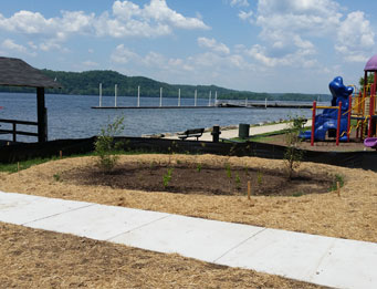
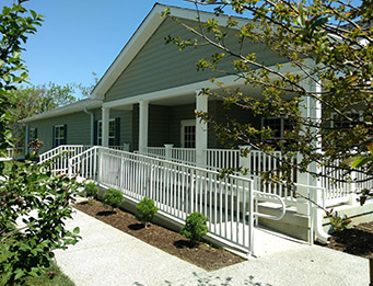
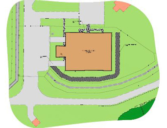
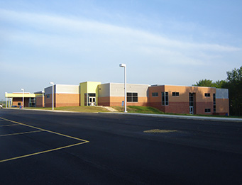
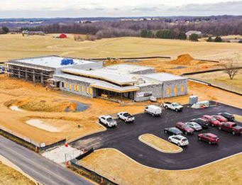
Environmental Sciences – including natural and ecological environmental services and due diligence – are provided to developers (land, brownfield and solar farms), real estate professionals, energy/utility companies, engineers, and other public and private clients that look to Landmark Science & Engineering for our expertise. Environmental scientists provide natural resource assessments including wetland and forest related services, Bog Turtle investigations, environmental permitting, and site investigations for voluntary cleanup services and brownfield redevelopment. We know that every project is important, and we have the professional staff and expertise to provide high quality services in a timely and cost-effective manner.
Services Provided
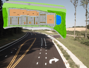
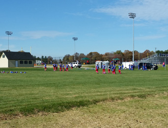
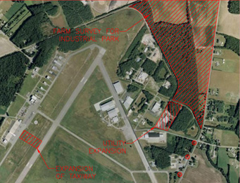
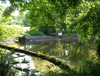
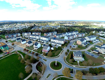
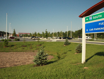
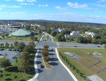
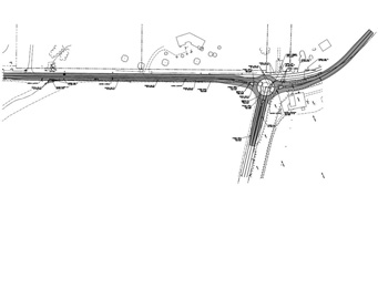
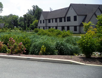
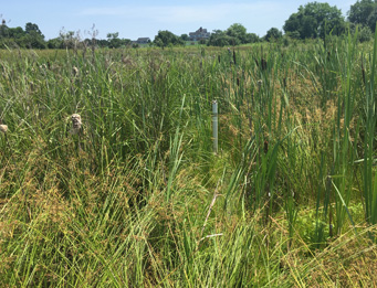
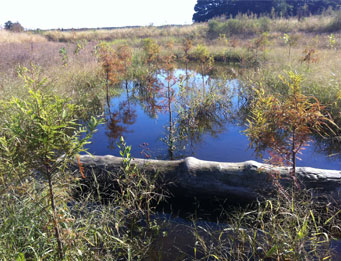
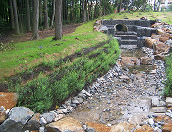
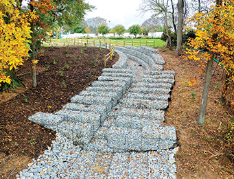
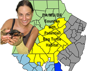
Our Environmental Sciences team will assist you with a wide range of services from the earliest stages of due diligence, Phase I environmental site assessments (ESA), state and federal permitting, wetland delineations, forest stand delineations, wetland mitigation design, forest conservation plans, new forest habitat value assessments (FHVA), habitat assessments, and Bog Turtle investigations (Phases I-III and construction monitoring).
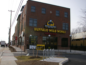
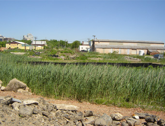
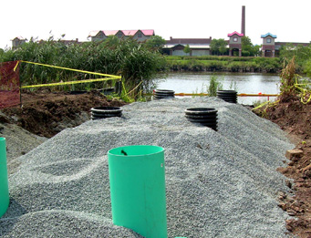
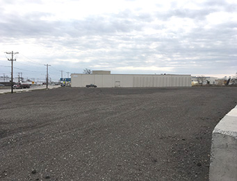
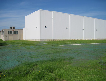
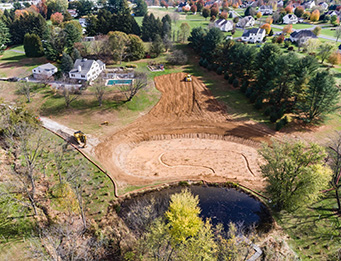
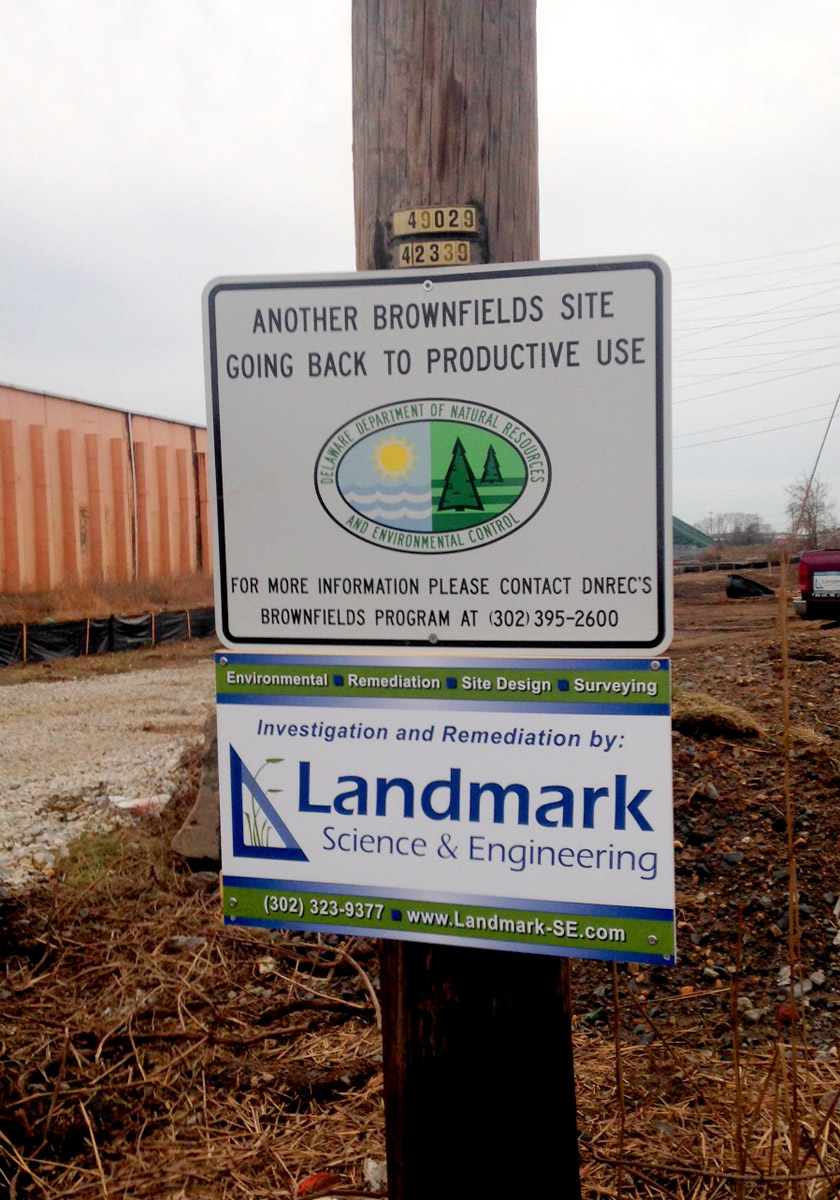
Our Remediation engineers and scientists provide soil testing and groundwater infiltration studies, site remediation, and site investigations for voluntary cleanup and brownfield redevelopment projects.
Qualified Professionals
Landmark staff come equipped with the technology, training, professional certifications and experience that assures quality execution. They are certified as:
- Professional Wetland Scientists (PWS)
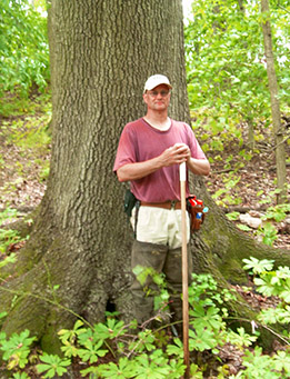
- Md. DNR-Qualified Forest Professional
- Qualified Bog Turtle Surveyor (QBTS)
- DNREC On-Site WW Designer Class B & C
- Professional Engineers (PE)
- Professional Land Surveyor (PLS)
- Firm is HSCA certified and all field staff are HAZWOPER certified
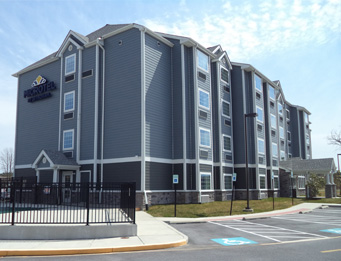
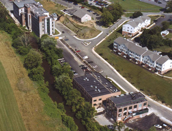
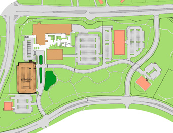
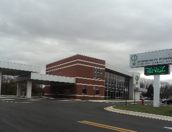
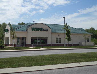
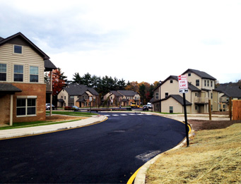
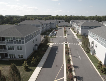
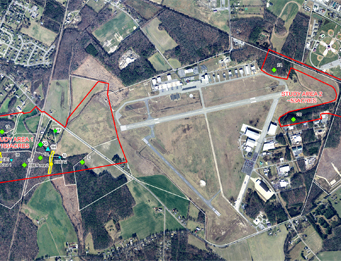
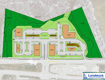
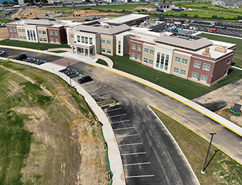
We have performed hundreds of Environmental sciences projects in the mid-Atlantic region in Delaware, Maryland, Pennsylvania, New Jersey and south to Virginia, and, since 2009, Landmark has offered these services with experienced, in-house staff. The combination of environmental sciences and civil engineering, augmented by GIS mapping and surveying services, helps us bring innovative solutions and enhanced value to your important site development and brownfield projects.
Discuss your project with a professional:
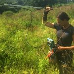
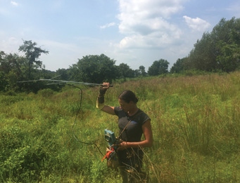
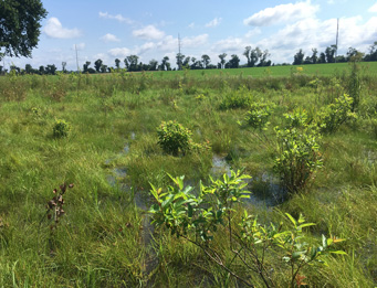
Bog turtle survey being conducted with radio-telemetry. Amy Nazdrowicz, PWS is a Qualified Bog Turtle Surveyor recognized by DE, MD and PA. She is a respected wetlands expert whose research has been published on the biodiversity of constructed wetlands. Contact Amy at 302-444-0787 or by email at info@landmark-se.com.
Download the 2024 Bog Turtle Season info sheet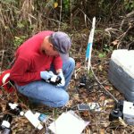
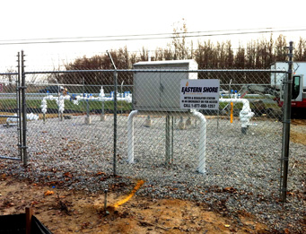
Groundwater and soil sampling. Douglas L. Seavey, PE holds MS EnvEng and BSCE degrees. He is experienced in all phases of environmental investigations and remediation including civil engineering design, environmental engineering data collection/investigation, data analysis, remediation/management and GIS mapping. Contact Doug to arrange for your Phase I and Phase II ESAs at 302-444-0792 or by email at info@landmark-se.com.
Description of Environmental Services Provided
Click below to see more about our environmental services.