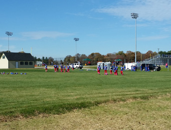
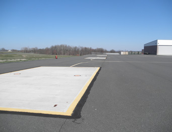
Airport (GED) 4-22 Runway Extension
As subconsultant to Urban Engineers for on-call airport engineering services required for a new 500 linear foot runway extension to the main 5,000 LF runway at Delaware Coastal Airport in Georgetown, Landmark provided surveying, environmental services, stormwater design, erosion and sediment control, agency processing, and GIS services in accordance with FAA circulars AC 150/5300 – 16, 17, and 18B.
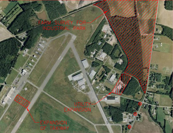
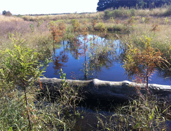
Agency Coordination Because the runway extension project required tree clearing of approximately 12.4 acres of forested wetlands and 34.9 acres of forested uplands from both the airport property and surrounding private properties, Landmark scientists worked as part of a team to coordinate with various state regulatory agencies (including Delaware Coastal Zones (CZM) Program, Delaware Fish and Wildlife, and Delaware Natural Heritage Program) to obtain DNREC’s approval of the required tree clearing.
Land Surveying Survey and Quality Control Plan to FAA Airport Surveying/GIS program.
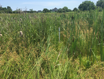
Environmental Investigations Landmark scientists conducted the required environmental investigations within two Study Areas proposed for tree clearing, (164± acres and 53± acres in size), including a Wetland Delineation Verification (to confirm that the results of previous Wetland Investigations remained accurate), a Wetland Investigation and Delineation on a private property, a Rare, Threatened and Endangered Species/Habitat Assessment, a Soil Investigation (within an area proposed for a SWM facility), and a review of historical aerial photographs and a description of the historical use of the two Study Areas.
Habitat Management Plan In order to address concerns raised in Del. Coastal Management Program’s Conditional Concurrence with the coastal management Federal Consistency Determination, a Habitat Management Plan (HMP) was also required for areas of proposed forest disturbance within the two (2) Study Areas. Thus, Landmark scientists developed and produced a “Post-Clearing Habitat Management Plan” that described post-disturbance management practices proposed for the Study Areas. Landmark’s HMP was approved by Delaware’s Coastal Management Program and is currently being executed (2015).
GIS Mapping Complicated digital maps of each Study Area were required for these reports. These required maps were produced by Landmark’s GIS Specialist and included detailed habitat composition maps of each Study Area, the overlay of the various wetland delineations onto digital Study Area maps, obtaining historical aerials, and maps depicting proposed tree clearing within each of the Study Areas.