Services

Land Surveying

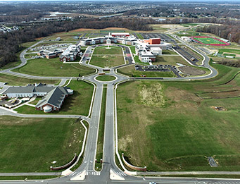
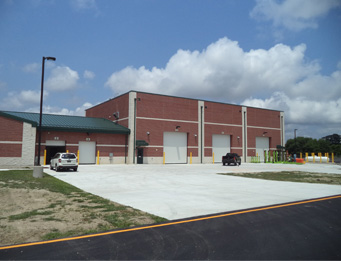
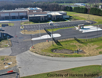
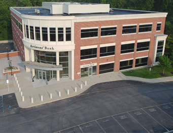
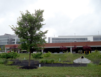
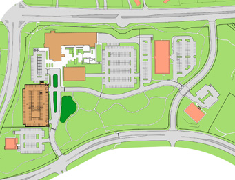
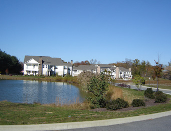
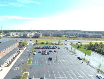
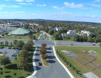
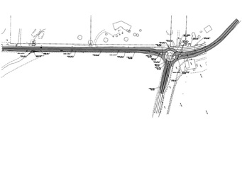
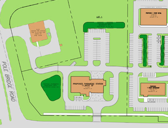
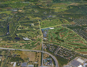
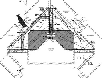
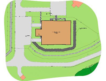
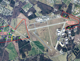
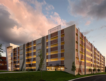
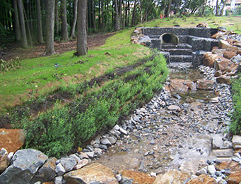
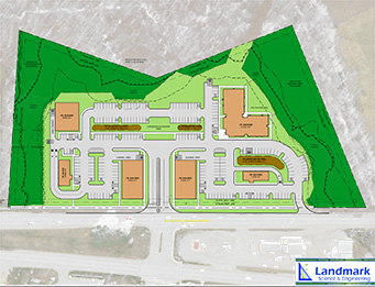
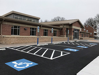
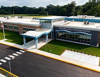
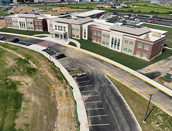
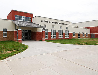
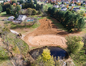
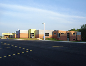
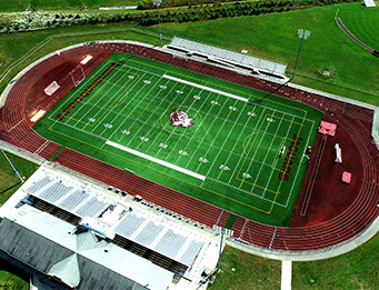
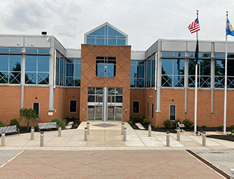
Land surveying comprises a wide range of services – including topographic, boundary, ALTA and other types of surveys and construction-phase services – which Landmark’s surveying department performs for public- and private-sector clients. Staff performs comprehensive surveying services for our commercial, industrial, institutional, residential, transportation and utility (roads, water and sewer, communications corridors, and pipeline) projects to support property acquisition, planning, civil engineering and architectural design, linear/route surveys, construction stakeout, and as-built certifications.

GPS Survey Equipment
Field staff use Robotic Total Stations, data collectors and powerful data management systems.

Our survey department has highly-skilled office and field staff that are safety-conscious and laser-focused on providing accurate services on a timely basis.

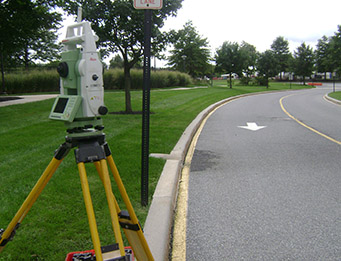
We subscribe to the Leica Smartnet Global Navigation Satellite System (GNSS) Network to allow for maximum precision from our RTK-enabled Global Positioning System (GPS) equipment, allowing direct access to the Continuous Operating Reference Stations (CORS) that are tied to the State Plane Coordinate System. The field staff utilize Robotic Total Stations, data collectors and powerful electronic data management systems for their daily survey activities.

Geographic information systems (GIS) data allows for the display and management of spatial data including survey and design data, scientific findings and historical records.  Combined with survey technology and robotics, GIS helps staff to expedite the collection of data needed for successful and cost-effective project management while maintaining high quality results.

Hazwoper-Certified Surveyors
HAZWOPER-certified surveyors work on a contaminated site.

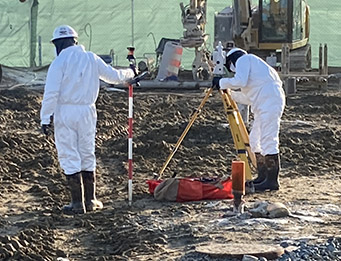
All survey and environmental field staff maintain up-to-date OSHA 40-hour HAZWOPER training certifications. Contractor orientation and safety certifications, such as TWIC and Amtrak Contractor Orientation ID Cards, are maintained as needed for Right-to-Enter permits.

DOWNLOAD BROCHURE

Description of Survey and Construction-Phase Services Provided

Click below for more about specific services provided.

Topographic and Boundary Surveys

Topographic Survey

A topographic field survey is conducted to determine the location and elevation of features such as streams, rivers, ponds, lakes, with selective ground elevations within a parcel of land to determine the direction of drainage. Typically a topographic survey will also include the property boundary, contours and the location and elevation of existing site improvements such as utilities, buildings, roads, curbs, sidewalk, paving, trees and so forth.

Boundary Survey

A boundary survey is conducted to determine property lines and define property corners of a parcel of land described in a deed or on a recorded plan. It also indicates the extent of any easements or encroachments and may show the limitations imposed on the property by state or local regulations. Easements may include a utility line easement crossing the subject property to a neighboring property or appurtenant like the right to cross another property for access to a public road.

Wetland and Flood Study Surveys

A wetland survey, sometimes referred to as “wetland flag survey,” is to document the horizontal limits and size of wetland areas as determined in the field by an environmental specialist.

Construction Layout and As-Built Surveys

During the construction phase of the project, the surveyors will provide layout services for the contractors by placing stakes (also called “stakeout”) on the site to show the location for construction of curbs, utilities, building foundations, steel, and stormwater management facilities, etc.

As-built surveys may be conducted before, during or after construction to exhibit and document the various “as-built” conditions of a project. Typically, as-built surveys will be conducted for site, stormwater management, foundations, sanitary sewer.

Stormwater management (SWM) as-built surveys may be required by some municipalities (such as New Castle County) for all of the stormwater management facilities on the site, whether they are above ground or underground.

ALTA/NSPS Land Title Surveys

Any time you are thinking of investing in major capital in real property or refinancing an existing property and want no surprises, an ALTA/NSPS Land Title Survey is necessary.

An ALTA/NSPS Land Title Survey is a comprehensive boundary survey, performed by a registered licensed land surveyor that adheres to the national standards adopted by American Land Title Association (ALTA) and National Society of Professional Surveyors (NSPS). It incorporates elements of the boundary survey, mortgage survey, and topographic survey. It should be pointed out that there are 21 optional items listed in Table A from which the client can choose to customize the survey based on their specific needs.

Row Acquisition and Easement Plans

A right-of-way (ROW) survey may be conducted to prepare a map or plat to exhibit or determine the width limits of occupancy of certain lands by either public or private ownership. This survey will establish frontage and departure points for ROW acquisitions. Easements plans can be prepared if needed.

Deed Research, Boundary Information, Legal Descriptions

Our registered professional land surveyor (PLS) will perform research of deeds and boundary information and will create the legal descriptions for your project.

Utility and Linear Surveys

We understand the complexities associated with utilities and other linear projects that may pass through multiple properties and land uses. We also know that linear projects have special requirements: roadways, utilities, pipelines, sewers, water, and transmission lines all have varying critical needs and safety concerns.

Our core utilities team is experienced in delineating and designing linear projects, with supporting specialists, as needed, including land surveyors, engineers, designers, environmental scientists, certified construction reviewers, and GIS specialists.

Construction support will be provided by experienced in-house staff for survey stakeout, certified construction review services, and environmental permit compliance requirements.

Safety: Landmark’s Director of Safety and Health maintains a corporate Safety Program. All field staff maintain up-to-date OSHA 40-hour HAZWOPER training certification with required 8-hour refresher courses. Crew members have TWIK, Amtrak, and other contractor orientation and safety certifications as required for Right-to-Enter (RTE) permits.

FEMA Flood Elevation Certifications

We will provide FEMA Flood Elevation Certificates for clients’ properties. Flood surveys may be prepared to use in preparation of a Letter of Map Revision (LOMR) for submittal to FEMA. We can also assist with a Letter of Map Amendment (LOMA).

Aerial Surveys / Photogrammetry

Aerial surveying (Photogrammetry) is the branch of surveying that deals with production of maps such as planimetric or topographic maps by compiling a number of photographs taken in that area. An aircraft with camera setup is used to take photographs from the air flying over the ground. Landmark’s surveyors will determine the locations and set all ground control targets in advance for accurate collection of photographic survey data, and will then provide correlation of the data received for project use.

FAA 1A and 2C Certifications

We can provide Federal Aviation Administration (FAA)  1A and 2C certifications. The FAA requires cellular and broadcast towers to have their positions certified by a licensed surveyor in the state where the work is located. The difference between a 1A and 2C certification is positional accuracy:

  • 1A is required to be accurate within 20 feet horizontally and 3 feet vertically.
  • 2C is required to be accurate within 50 feet horizontally and 20 feet vertically.

Architectural Surveys

When architects and contractors are working on the renovation, redevelopment or demolition of an existing building, existing conditions and critical elevations may be required. Our surveyors work safely in urban areas and occupied and unoccupied office, industrial, and institutional buildings to provide the critical, detailed elevations and existing conditions surveys needed to support your interior and exterior architectural design.